MyGDI Explorer — National Geospatial Catalog
The Challenge
MyGDI Explorer is Malaysia’s national geospatial metadata catalog — the discovery layer for thousands of geospatial datasets published by government agencies. The original system ran on a legacy Java geoportal stack that was difficult to maintain and dated for users.
Our Approach
We rebuilt MyGDI Explorer on a modern Laravel 13 + React stack:
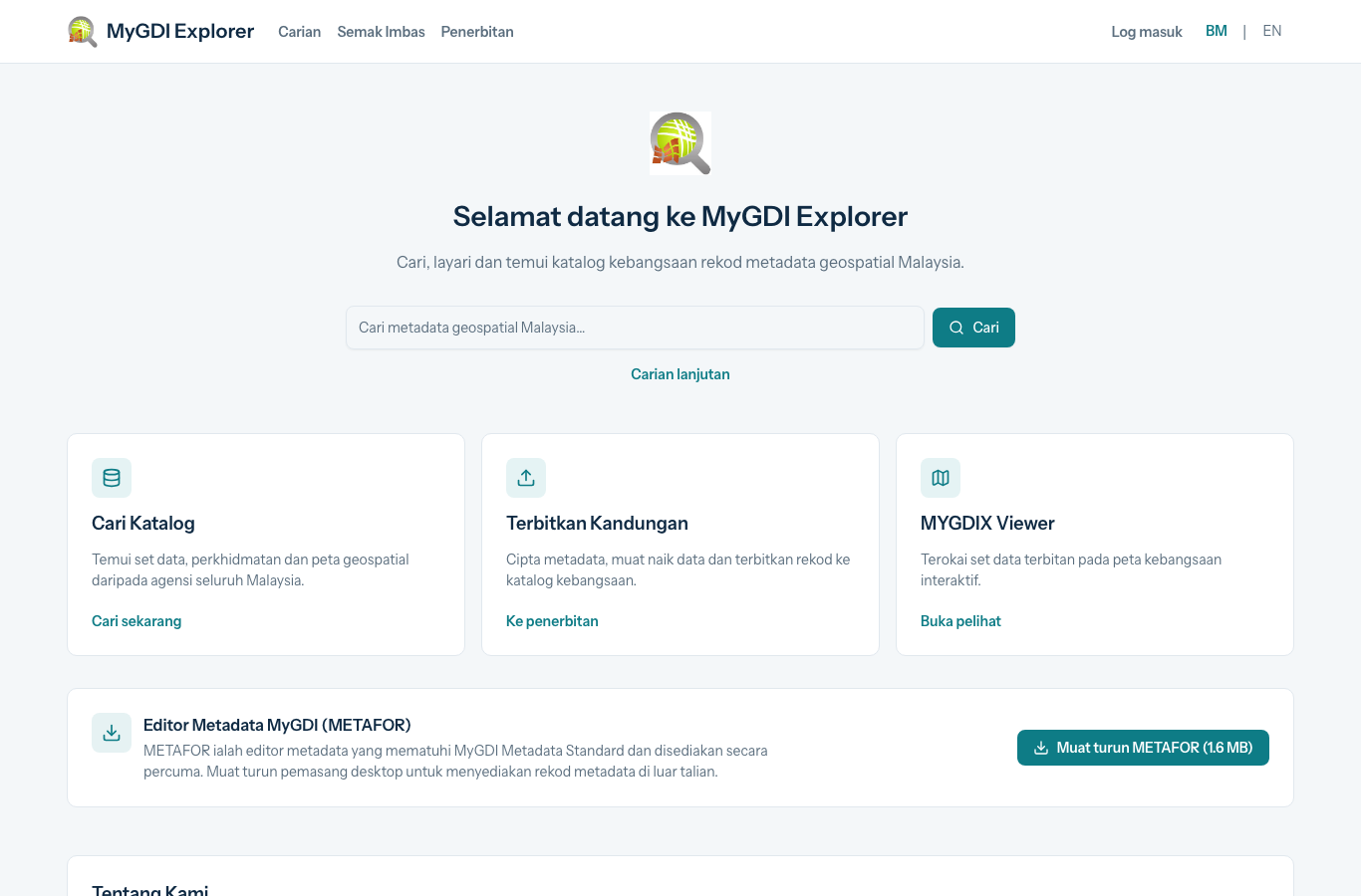
- Catalog search & browse — a fast, bilingual (BM / EN) interface for discovering geospatial datasets, services, and maps across all Malaysian agencies.
- Metadata publishing — workflows for creating, uploading, and publishing records to the national catalog.
- MYGDIX viewer — an interactive map viewer for exploring published datasets on a national basemap.
- METAFOR — a downloadable metadata editor compliant with the MyGDI metadata standard for offline record creation.
Results
- A modern, responsive replacement for the legacy geoportal experience.
- Bilingual, user-friendly discovery over the national geospatial catalog.
- A maintainable Laravel/React codebase ready for ongoing enhancement.